

Map & Distance Chart
Maps of Bhutan and the driving distances, times and altitudes between its towns, so you can see how a route fits together.
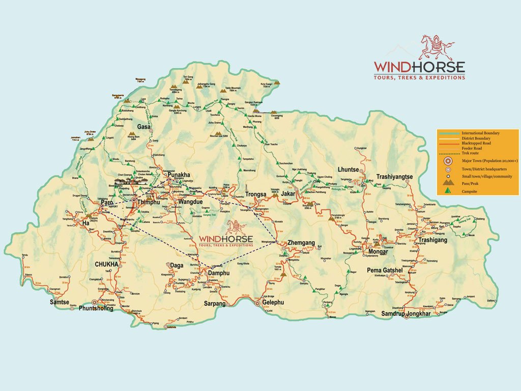
The lie of the land
Three zones, 20 districts
Bhutan sits in the eastern Himalayas between Tibet (China) to the north and India to the south. It rises from southern lowlands through the central valleys to northern peaks over 7,000 m, and is divided into 20 districts (dzongkhags).
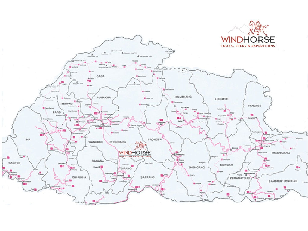
For trekkers
Trekking routes
The main trekking routes and trails across Bhutan, from the Druk Path to the Snowman Trek.
Distance & altitude chart
How far, how long, how high
Mountain roads are slow: allow the drive times below rather than judging by distance.
Western Bhutan
| From | To | Km | Drive |
|---|---|---|---|
| Paro | Thimphu | 55 | 1 hr+ |
| Paro | Haa | 70 | 2.5 hrs |
| Paro | Punakha / Wangdue | 130 | 4–5 hrs |
| Paro | Phuentsholing | 165 | 4–6 hrs |
| Haa | Thimphu (via Dawakha) | 112 | 4 hrs |
| Thimphu | Dochula Pass | 30 | 45 min |
| Thimphu | Punakha | 71 | 3 hrs |
| Thimphu | Wangdue | 70 | 3 hrs |
| Thimphu | Gangtey (Phobjikha) | 134 | 5–6 hrs |
| Thimphu | Trongsa | 199 | 6–7 hrs |
| Punakha | Wangdue | 13 | 30–45 min |
| Wangdue | Gangtey (Phobjikha) | 65 | 2.5 hrs |
| Wangdue | Trongsa | 129 | 5 hrs |
| Wangdue | Jakar (Bumthang) | 195 | 6–7 hrs |
Central Bhutan
| From | To | Km | Drive |
|---|---|---|---|
| Gangtey | Trongsa | 120 | 4–5 hrs |
| Trongsa | Jakar (Bumthang) | 68 | 2–3 hrs |
| Trongsa | Zhemgang | 110 | 4–5 hrs |
| Trongsa | Tingtibi | 105 | 4 hrs |
| Jakar | Tang | 40 | 2 hrs |
| Jakar | Ura | 48 | 2 hrs |
| Jakar | Mongar | 198 | 7 hrs |
| Zhemgang | Tingtibi | 16 | 40 min |
Southern Bhutan
| From | To | Km | Drive |
|---|---|---|---|
| Tingtibi | Gongphu | 45 | 2 hrs |
| Tingtibi | Panbang | 85 | 4–5 hrs |
| Tingtibi | Manas | 95 | 5 hrs |
| Tingtibi | Gelephu | 115 | 4 hrs |
| Panbang | Manas (Mathanguri) | 11 | 40 min |
| Gelephu | Phuentsholing | 195 | 4 hrs |
| Gelephu | Panbang (via Manas) | 190 | 5 hrs |
| Gelephu | Samdrup Jongkhar | 280 | 6–7 hrs |
| Phuentsholing | Thimphu | 175 | 5–6 hrs |
| Phuentsholing | Samdrup Jongkhar | 356 | 8–9 hrs |
Eastern Bhutan
| From | To | Km | Drive |
|---|---|---|---|
| Mongar | Lhuntse | 75 | 3 hrs |
| Mongar | Trashigang | 91 | 3–4 hrs |
| Trashigang | Trashiyangtse | 54 | 2.5 hrs |
| Trashigang | Gomphu Kora | 23 | 40 min |
| Gomphu Kora | Trashiyangtse | 32 | 2 hrs |
| Trashigang | Radhi | 21 | 1 hr |
| Trashigang | Kanglung | 22 | 1 hr |
| Trashigang | Rangjung | 16 | 45 min |
| Trashigang | Deothang | 162 | 6–8 hrs |
| Trashigang | Samdrup Jongkhar | 180 | 6–8 hrs |
To and from India
| From | To | Km | Drive |
|---|---|---|---|
| Phuentsholing | Siliguri, West Bengal | 150 | 4 hrs |
| Siliguri | Bagdogra Airport | 15 | 30 min–1 hr |
| Phuentsholing | Chalsa (Dooars) | 110 | 2 hrs |
| Phuentsholing | Kalimpong | 179 | 5 hrs |
| Phuentsholing | Darjeeling | 277 | 6 hrs |
| Phuentsholing | Gangtok, Sikkim | 230 | 6–7 hrs |
| Gelephu | Guwahati, Assam | 390 | 6 hrs |
| Samdrup Jongkhar | Guwahati | 100 | 3 hrs |
Town altitudes
| Paro | 2,200 m |
| Haa | 2,700 m |
| Thimphu | 2,300 m |
| Dochula Pass | 3,050 m |
| Punakha | 1,350 m |
| Wangdue | 1,300 m |
| Gangtey | 2,900 m |
| Trongsa | 2,200 m |
| Jakar | 2,650 m |
| Zhemgang | 1,900 m |
| Mongar | 1,600 m |
| Lhuntse | 1,400 m |
| Trashigang | 1,100 m |
| Trashiyangtse | 1,750 m |
| Tingtibi | 600 m |
| Gelephu | 280 m |
| Phuentsholing | 295 m |
| Samdrup Jongkhar | 250 m |
Travel with us
Bhutan trips
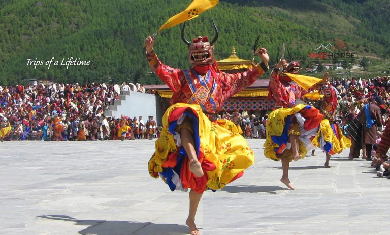 Bhutan Festival Tour
View trip →
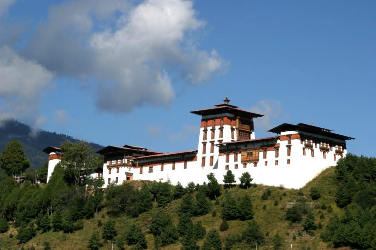 Highlights of Bhutan Tour
View trip →
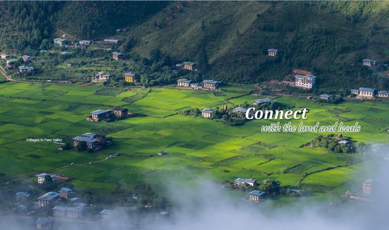 Bhutan Country Walks
View trip →
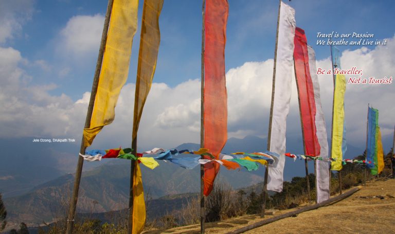 Druk Path Trek – A Scenic Highland Trek Journey Between Paro and Thimphu
View trip →
Find a trip by style: Culture Festivals Walking Trekking Village Wildlife & Birding Cycling Multi-activity Pilgrimage