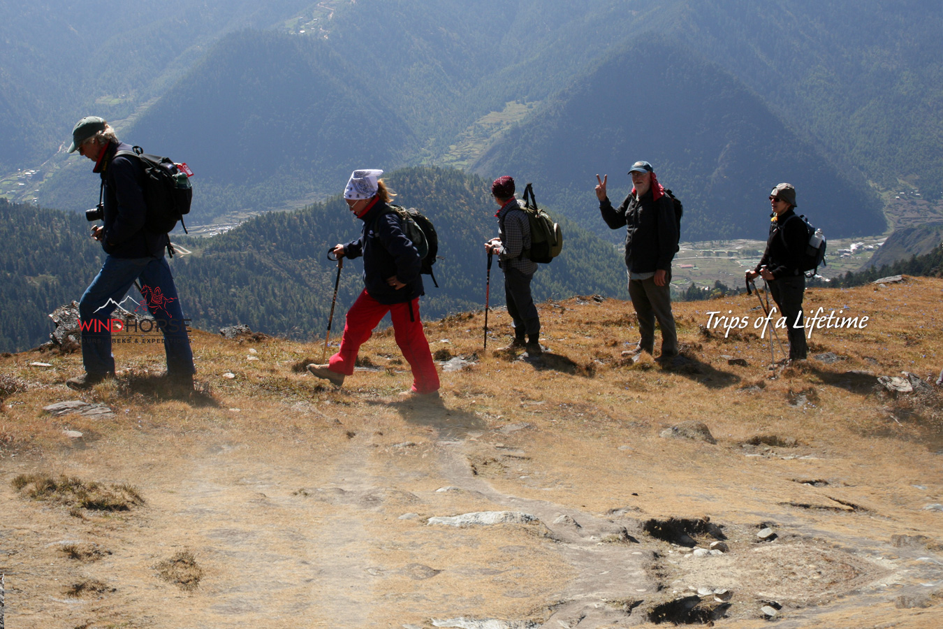
Laya - Koena
Approx.19km about 6-7 hours trek, 260 ascent. 1070m descent
From the village the trail drops near the river, where there is an army camp. Then trail winds up and down along the river valley avoiding natural obstacles and affording breath-taking views of the crashing river, feeder streams and water falls. In many parts, the trail is very muddy, crosses ridge at 3390m, descends and makes a serious climb upto Kohi Lapcha at 3300m. Koina campsite at 3050m is muddy bog near the stream, but you to have to manage for a night because there are no other alternate good camping spots in the area. (GPS: 27° 58.953' 89° 44.328')